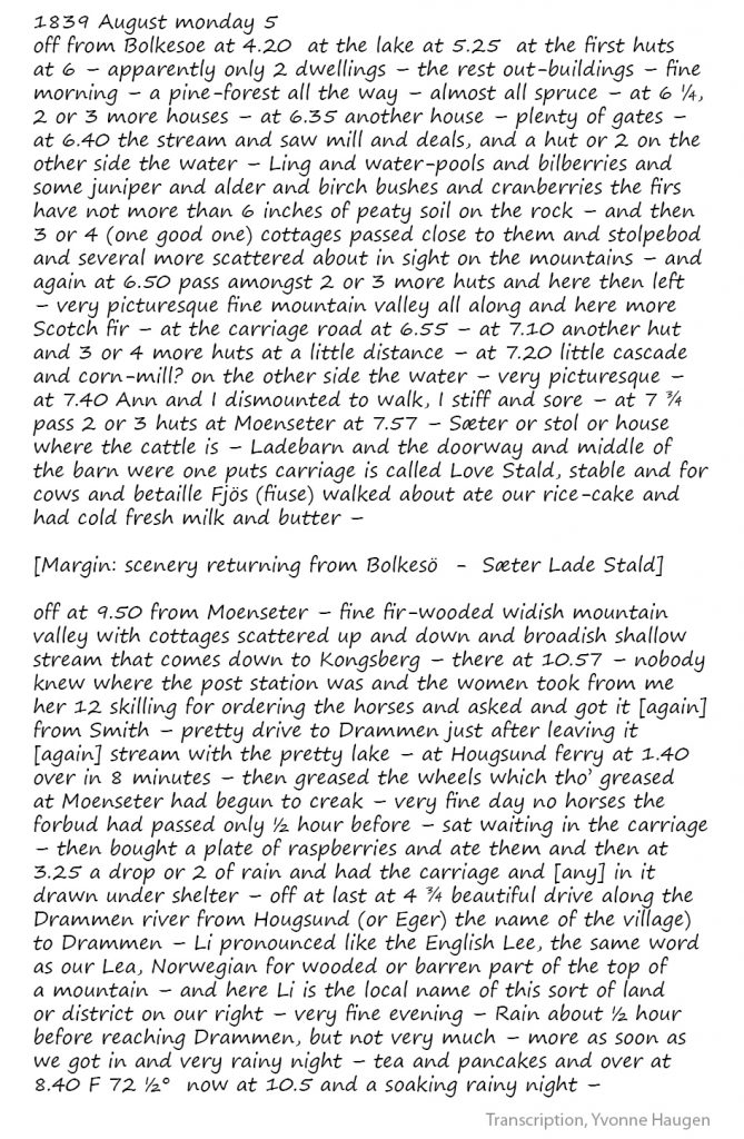
Places
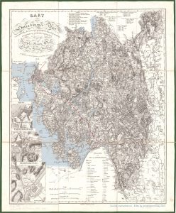
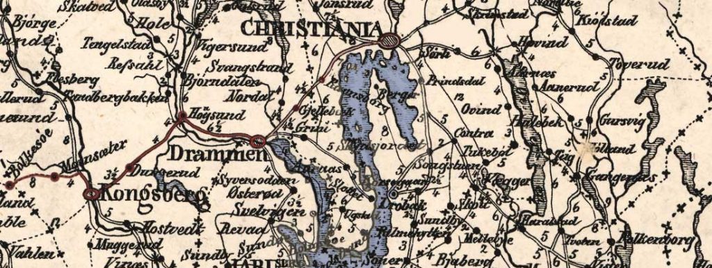
Detailed map of route from Svinesund to Soner [Såner]
Smaalehnenes Amt, Ramm & Munthe (1826)
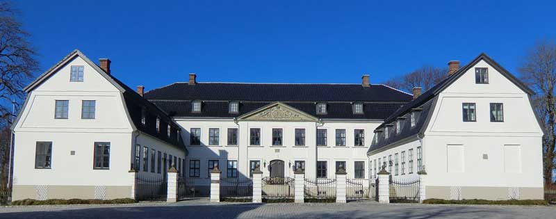
The first public record of Hafslund dates to 1344, at which time the farm was crown property. Hafslund Manor dates from 1761. Read more…
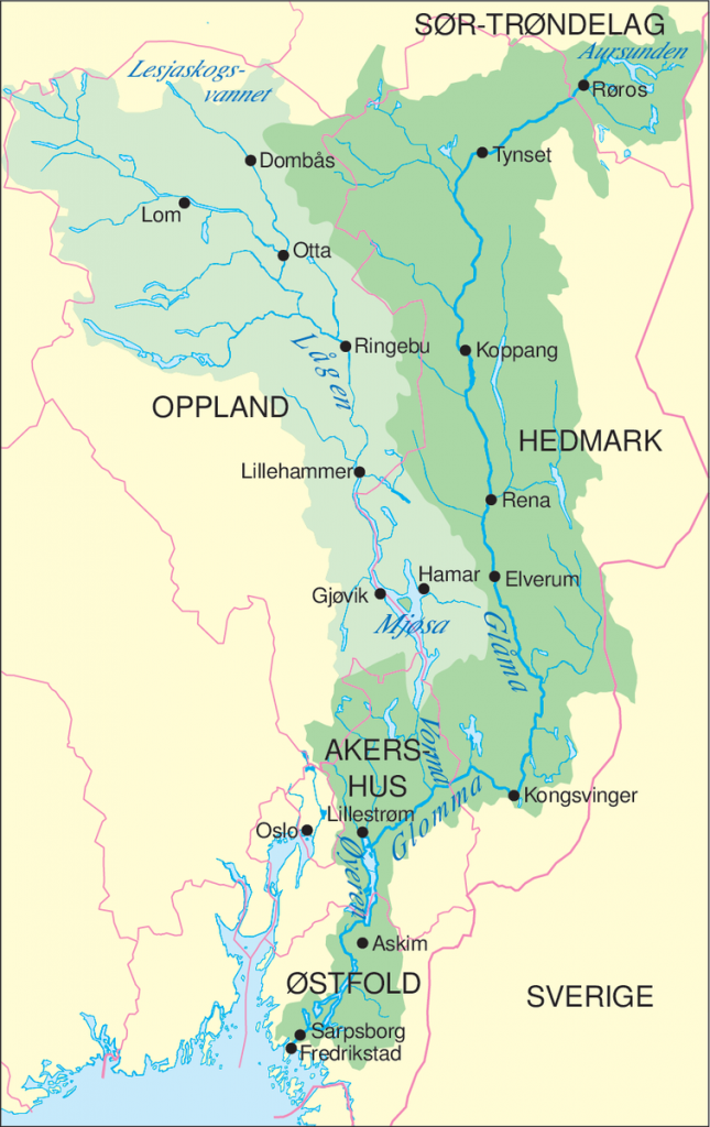
Glommen [Glomma]
The Glomma, is Norway’s longest and most voluminous river. With a total length of 621 kilometres (386 miles), it has a drainage basin that covers fully 13% of Norway’s surface area, all in the southern part of the country.
Read more …
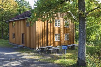
Korsegården used to be situated at
what is currently a highway crossing, “the Korsegård-crossing” or Korsegårdskrysset, by the E6 in Ås, Akershus. Read more about Korsegården
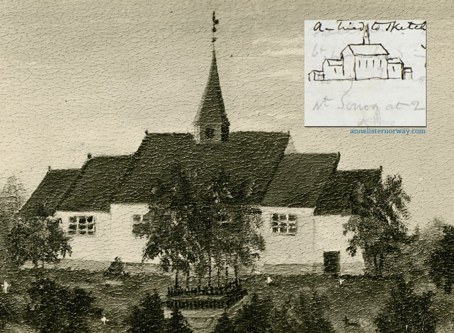
Såner church
Såner church as it would have looked when Anne and Ann saw it. Inset is Anne’s sketch in her journal.
Read more about Såner Church
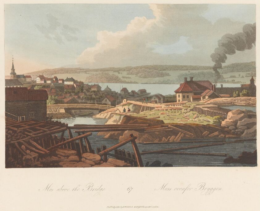
Moss
Archeological finds suggest that there were settlements in the area more than 7,000 years ago and continuously through the Iron Age, Viking Age, through to modern times. Read more about the town Moss
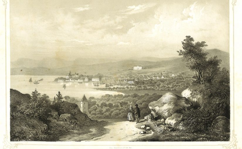
Christiania
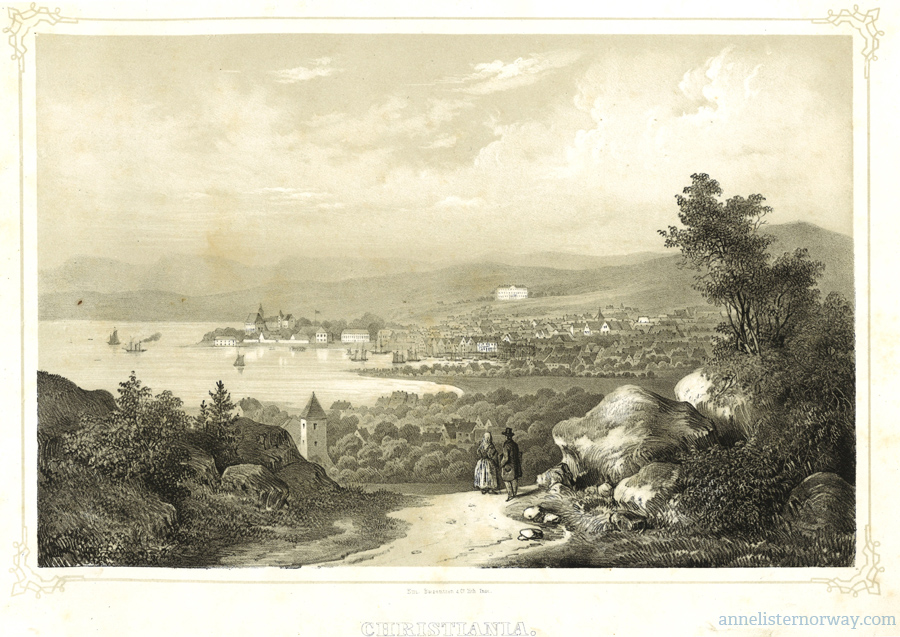
(August Boesen, early 1800)